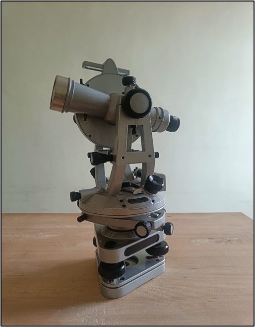
Total Station
Total Station is a high-precision surveying instrument for measuring angles, distances, and elevations in land surveying, construction, and engineering. It’s known for its accuracy and total stations feature advanced electronic distance measurement (EDM), automatic target recognition, and a one-person operation. It is durable, GPS-compatible, and seamlessly integrated with Leica software, making it ideal for precise data collection and geospatial mapping tasks.
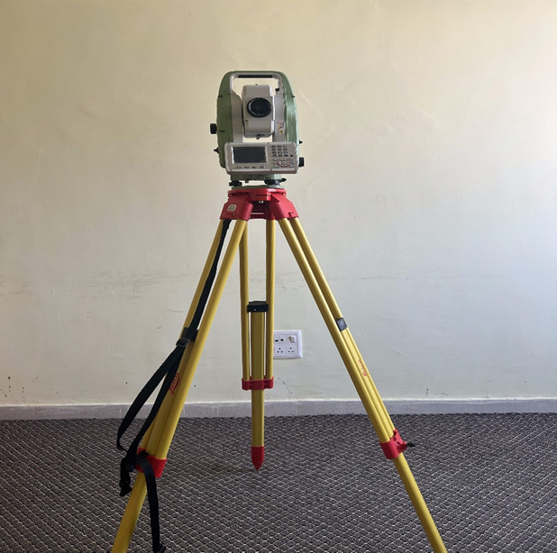
Digital Theodolite
Digital theodolite is a precision instrument used in surveying and construction to measure horizontal and vertical angles. Unlike traditional theodolites, digital versions feature an electronic display, making readings quicker and reducing human error. It’s equipped with a telescope, digital encoder, and easy-to-use controls, they are ideal for establishing boundaries, aligning structures, and layout work, offering high accuracy and reliability for indoor and outdoor applications.
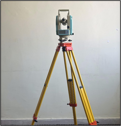
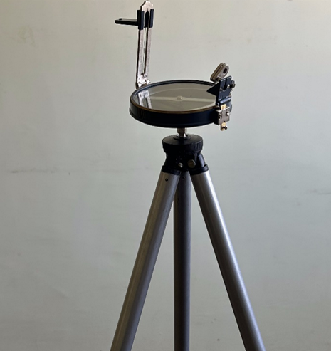
Plan Surveying
Plane table surveying is a field method for mapping and measuring land directly on-site. It involves a portable drawing board (plane table) mounted on a tripod, where surveyors plot points and features using a sighting instrument (alidade) to capture angles and distances. This method is ideal for small-scale surveys, quick mapping, and locations where visual data can be directly sketched, providing immediate results without complex calculations.
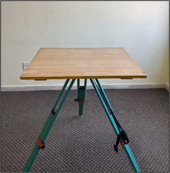
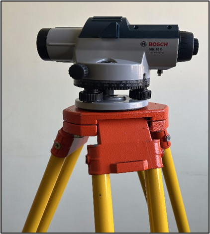
Auto-Level
Auto Level is an optical surveying instrument that establishes and verifies points in the same horizontal plane. It features a built-in compensator that automatically levels the line of sight, eliminating the need for manual adjustments. This makes it ideal for construction, roadwork, and land levelling, where accurate height measurements are essential. Easy to set up and reliable, auto levels provide precise elevation data over long distances.
Prismatic Compass
Prismatic compass is a compact, portable instrument used in surveying to measure bearings and angles relative to magnetic north. It features a prism that allows users to simultaneously view the compass card and the survey point, ensuring quick and accurate readings. Ideal for rough terrain and fieldwork, it’s commonly used in navigation, mapping, and preliminary land surveys.
Theodolite
Theodolite is a precision instrument used primarily in surveying and engineering to measure horizontal and vertical angles. It consists of a movable telescope mounted within two perpendicular axes: the horizontal or azimuth and vertical or altitude axes. Theodolites are essential tools for tasks that require precise angle measurements, such as land surveying, construction, and alignment of large structures.
